
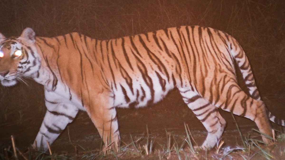
This is the second of three posts about the wildlife tracking work we did at DA-IICT between 2006 and 2013, in collaboration with the Wildlife Institute of India, Dehradun. In the first part I described how a fusion physicist came to be working on wireless sensor networks at all, how a lecture on the Zebranet project led to a visit to WII, and how one question asked in a room full of wildlife scientists produced twelve project ideas of which three were taken up. It also covered the first hand-wired prototype and the months we spent testing it on the bed of the Sabarmati river.
The three projects were deliberately chosen not to overlap: a GPS based collar for medium to large animals, aimed finally at the Barasingha (Swamp Deer); an image sensor network to photograph tigers along their trails; and a way of tracking small hill turtles inside the WII campus, where a GPS receiver could not be used at all. We called them wildCENSE, tigerCENSE and turtleCENSE. This part is about what each of them turned out to demand.
Continue reading